New information system for medieval landmarks in the Czech-Bavarian border region was created by artificial intelligence
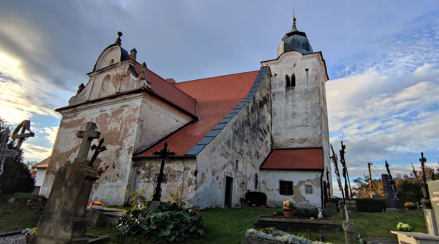
A joint cross-border team made up of experts from the University of South Bohemia in České Budějovice and the Technical University of Deggendorf has developed a tourist mobile app that makes the cultural heritage of the Czech-Bavarian border region accessible to users.
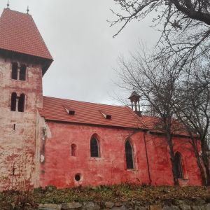
Rural sacral architecture is an inseparable part of the Bohemian-Bavarian landscape. The spiritual richness of this region has its unmistakable originality, based on the specific conditions of the local population and the colonial settlement of the landscape. Since the Middle Ages, the village churches in the border region have been places of devotional contemplation and spiritual purification, as well as meeting places for various communities across the border. The rural church has always been the focal point of the microcosm of the rural population and of the acts of religious life, celebrations, pilgrimages, key life transition rituals (e.g. baptism, wedding, funeral), as well as local legends and traditions. Compared to urban buildings or aristocratic residences, this area of architectural heritage has often been neglected, among others due to the generally limited attention to sacred architecture during the socialist period and the expulsion of the German population after World War II. All of this motivated a team of researchers from two universities who, in record time, created a new mobile app to bring these monuments to the attention of the general public.
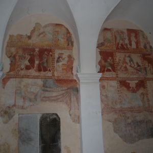
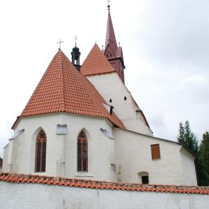
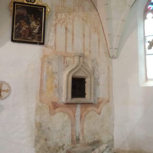
Within a short period of one and a half years, the project produced texts and photographs for 100 rural churches on the Czech side and 25 churches on the German side. These are now accessible not only via the new app but also via Wikipedia. They contain art-historical descriptions, highlight interesting architectural and decorative elements and place the buildings in the historical and spiritual context of the region.
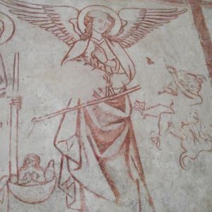
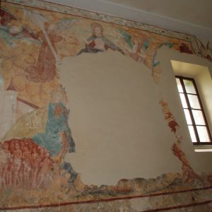
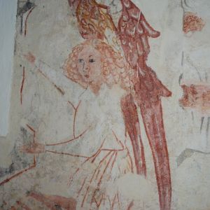
The authors have prepared an extensive dataset for the development and testing of the mobile application, which contains approximately 4 500 photographs of the interiors or exteriors of the documented churches, including detailed examples of specific components of these buildings, such as altars, presbyteries, frescoes, etc.
The mobile app itself works on three levels. In the first one, the user can access textual, graphical and geolocation information relevant to individual churches. The app also allows the user to automatically navigate to a given church via mobile phone, which will be appreciated especially by interested tourists.
The second option for using the app is its ability to identify sacred buildings from photographs. If the user provides the app with a photo of a church (or part of it) from the mapped region, the app can recognise the building without knowing the user's photo. This is possible because the application can distinguish significant components of churches (e.g. altars, frescoes, or organs) in an unknown photograph, which it then compares with the photographs in the database. To do this, it uses advanced methods from the fields of artificial intelligence and computer vision. This functionality is quite generic and easily transferable as a concept to buildings other than religious buildings. It can therefore be further extended to other topics after the project is completed.
The third area of application use is the so-called recommendation system, which offers the user, based on knowledge of his personal preferences and geographical location, interesting regional tourist attractions with regard to the prioritisation of sacred buildings. The mobile application will thus also be appreciated by users from the general public who primarily search for other types of attractions than sacral buildings, i.e. interesting cultural destinations, natural sights or nature trails.
Promotional materials in Czech and German have been created for the documented churches, and a small book publication is also being produced. These materials are available to the partners and supporters of the project – the South Bohemian Tourism Centre and the Turismusverband Ostbayern.
.
The whole project contributes to the popularisation of the mapped landmarks, informing the wider public about their significance and spiritual content and, last but not least, motivates their protection and appreciation within the development of the cultural landscape of the border region. The project is also a step towards a wider implementation of mobile technologies in the field of cultural tourism in our region and its focus on neglected rural monuments fills a gap in the local tourism infrastructure. The focus of the project falls within the area of tourism promotion using innovative information tools and technologies.
Project information:
Project title: Information system for medieval landmarks in the Czech-Bavarian border region, No 335
Grant programme: Cross-border cooperation programme Czech Republic – Free State of Bavaria Objective EÚS 2014–2020.
Czech party: Department of Informatics of the Faculty of Science of the University of South Bohemia in České Budějovice, which also arranges cooperation with archaeologists, historians and art history experts.
Bavarian party: Faculty of Applied Informatics Technical University Deggendorf (Freyung Campus of Technology)
Total budget of both parties: EUR 558 383.23
Duration: from 1. 7. 2021 to 31. 3. 2023
